

The TVC Ecosystem
Geography
The land's physical setting — where TVC sits, and its place in a wider wildlife corridor.
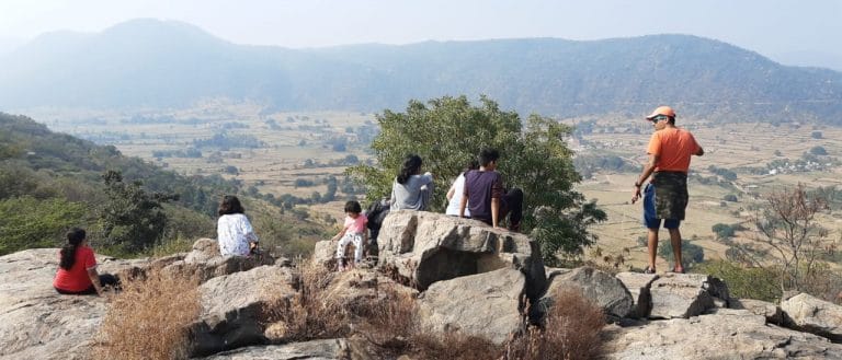
TVC sits on a west-facing hillslope on the Tamil Nadu–Karnataka border, with sunset views across the valley. It's part of the Melagiri Hills, the range where the Eastern and Western Ghats meet — a geographic seam that makes the range biodiversity-rich and, for wildlife moving between habitats, a through-route rather than a dead end.
Where this sits in the wider corridor
The Melagiris alone cover roughly 1,295 km² of forest. TVC sits inside a live elephant corridor connecting Bannerghatta National Park to the Cauvery — one link in a wider chain that also ties in MM Hills, BR Hills, Sathyamangalam, and the Nilgiri Biosphere Reserve, together one of South India's larger contiguous elephant landscapes. More on what that means for the land and its wildlife on About Us.
Marker positions are each protected area’s approximate reference point, shown here for scale and relative position — not a traced boundary.
How far elephants range
Radio-telemetry studies elsewhere in this same corridor — collared female clans and bulls in the Nilgiri Biosphere Reserve — found average home ranges of around 677 km² for female clans (550–700 km²) and 293 km² for lone bulls (211–375 km²), shifting with rainfall and food availability. Dry-season ranges stay tight around perennial water; monsoon and post-monsoon ranges (roughly July–February) expand as temporary water opens up and crops ripen — the same window in which elephants are most likely to move through a corridor like this one toward farmland.
Villages and farms within 1.5–2 km of a forest edge see the most of that movement, elsewhere in the corridor — one reason keeping it unbroken, rather than fragmented by farms and roads, matters for reducing conflict.