
About Us
The Design
The land's regeneration follows permaculture and regenerative design principles: a wildlife corridor higher on the hill closer to the forest is left to grow by itself, food forests combine supporting plants with fruit-bearing trees, and the rest is actively cultivated. The last several years have been dedicated to land rejuvenation, letting vegetation grow in whatever form it takes.
The land's layout — the housing clusters, the food forest zones, the water works — is mapped out below.
Hover or tap a shape for its name. Pulled from the community’s working land-plan map — housing, farm plots, food forest, water works, and structures.
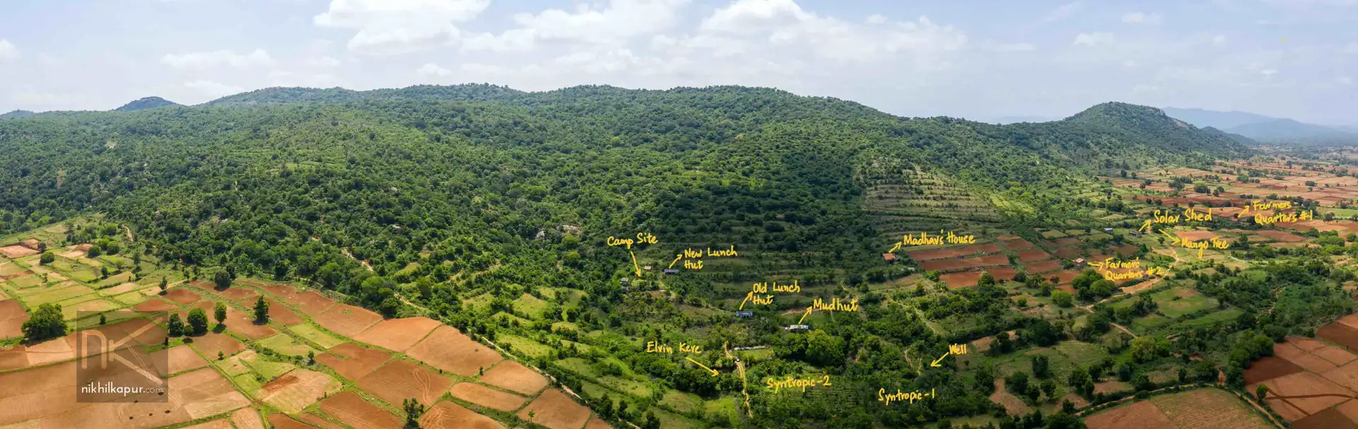
Aerial view
A drone flight over the property, showing the food forest and the surrounding hills from above.